How to arrive
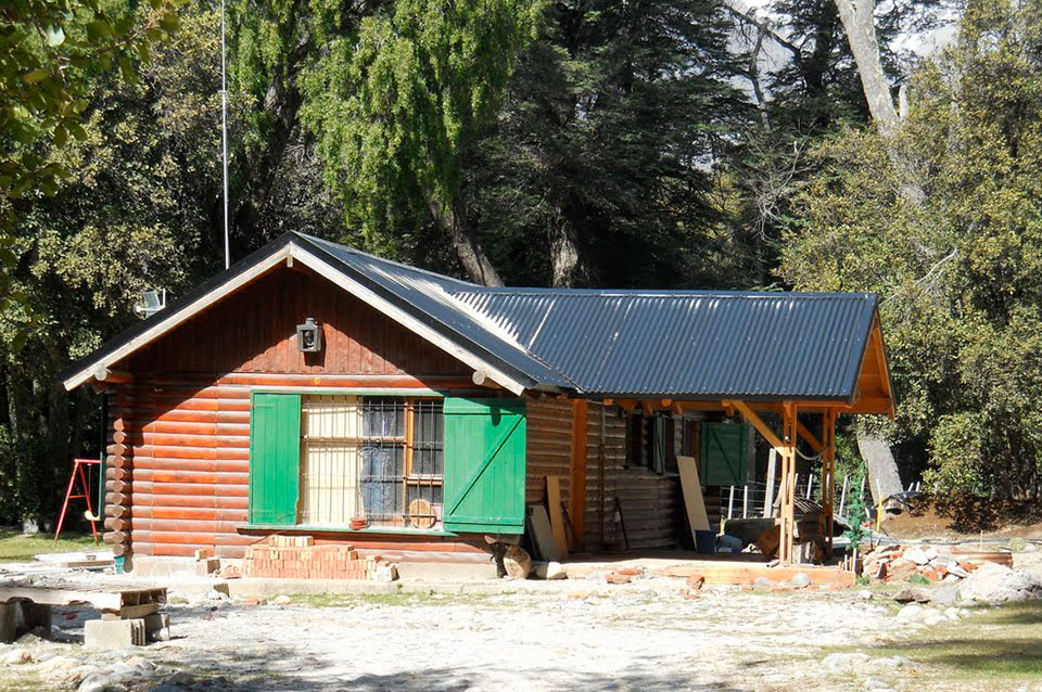
The refuge has several possible accesses. These are the most important ones.
Traditional trail.
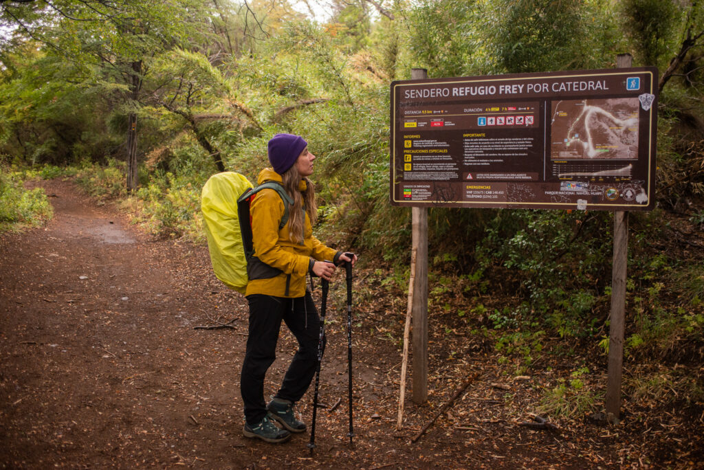
This is the conventional way to get to the shelter. It begins on the side of the Cerro Catedral parking lot, where a large wooden sign with white letters announces the Frey Shelter, visible from the bus stop. Follow the arrows that guide you at the beginning and once you have followed the wide track, walk for about 30 minutes until the wide track becomes a path. It heads south until it reaches the Van Titter Creek Valley where it begins to rise. After two hours of walking, you cross the bridge over the mentioned stream, arriving 20 minutes later at Piedritas, a classic rest stop (we recommend not to enter). One more hour and you reach the Frey Refuge, at 1700 meters of altitude.
- Total: 4 hs.
- Difficulty: easy.
- The return to Villa Catedral is 2 ½ hours, along the Slovenian route.


Slovenian route.
This trail begins at the Lake Gutierrez park ranger section, near Villa los Coihues. You can take the bus from the Autobuses Bariloche company, number “50”. You get off the bus at the Villa Los Coihues stop, right next to the entrance bridge to the neighborhood. Then you must continue walking along the gravel road that borders the lake for about 3 kilometers and you will reach the end of the road, where the park ranger and the auto-camping are located. From there the trail begins, heading to the beautiful Los Duendes waterfall, and just before seeing it, the trail turns left, and begins to climb slowly. Approximately 2 hours from the park ranger, you will find a signposted detour, on the left you can access Muñoz beach, and on the right you can access the Frey Refuge. From the detour it is estimated that there will be another 3 hours of walking. The climb is steep, it is recommended to be in good physical condition and have at least 1.5 liters of water.
Catedral´s edge.
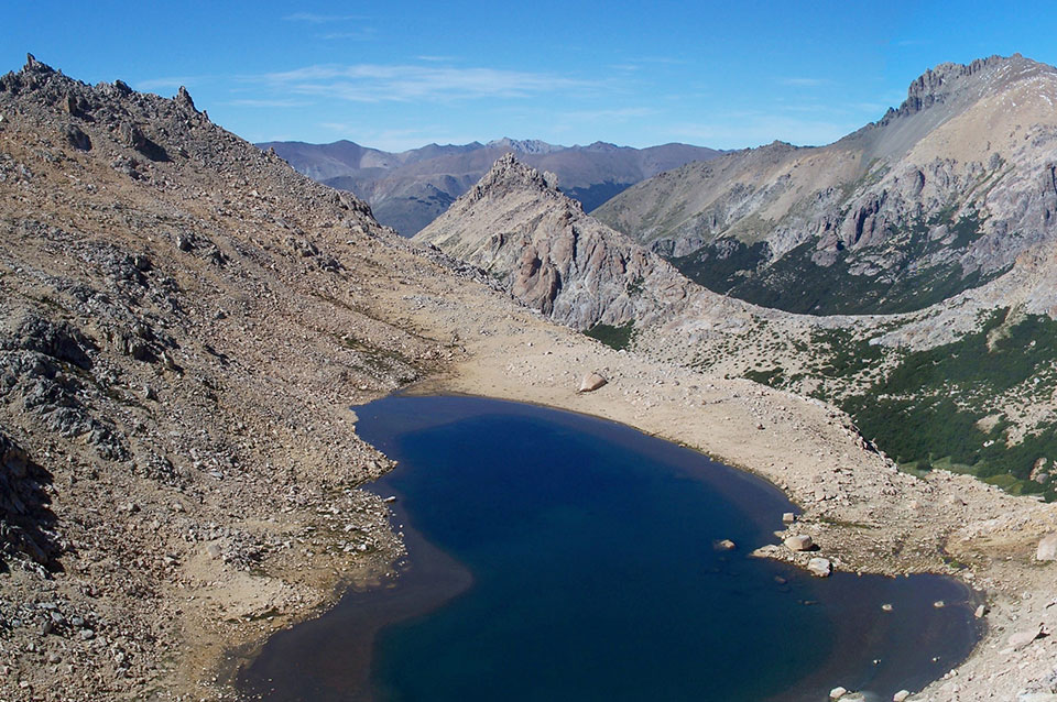
Summer trekking that begins where the lifting means end, either in Punta Princesa or in the Alta Patagonia Lynch refuge. From the first it is a 3 hours walk while from Lynch it is 3 hours and a half. The path is well marked with red paint. The terrain is rocky, quite irregular and hilly at the beginning, of medium difficulty. Then it becomes gentler until you reach the detour Refugio Frey (left) – Refugio Jakob (right) 100 mts before the so-called Cancha de Fútbol, descending sharply towards the Schmoll lagoon, with crystal-clear waters. A new steep descent and we reach the bottom of a high valley where the Toncek lagoon is, at the end of which the Frey Refuge can be seen. It is recommended to do this hike in good weather, clear skies and without wind. Descend with caution to avoid twists and slips.
